

Maryland is under a heat advisory today, as a dangerous combination of high temperatures and humidity is expected to affect much of the region. The National Weather Service has issued the advisory for central and eastern Maryland, including Baltimore, with feels-like temperatures expected to reach 105°F (40.5°C) or higher during peak afternoon hours.
The advisory remains in effect through Friday evening, as a hot and stagnant air mass continues to dominate the Mid-Atlantic. Daytime highs are forecast to hover around 98°F (36.6°C), with little relief from overnight lows that may not drop below 78°F (25.5°C).
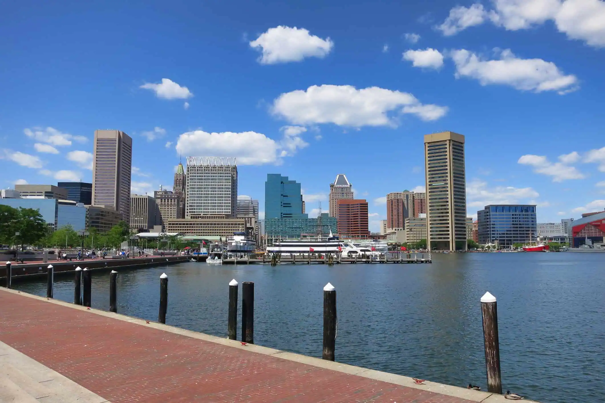
The most impacted areas include downtown Baltimore, Annapolis, the Eastern Shore, and portions of Howard, Harford, and Prince George’s Counties. Urban centers and places with limited green space may experience even hotter microclimates, exacerbating the already oppressive conditions.
High dew points, climbing into the upper 70s°F (25°C), will prevent the body from cooling naturally through sweat, increasing the risk of heat-related illness, especially during the midday to late afternoon hours.
As this heat wave persists across the Northeast, meteorologists are closely monitoring the potential for isolated thunderstorms developing by late Friday into Saturday, which could bring localized relief but may also trigger severe weather.
Stay tuned for updates on WBAL NewsRadio 1090 and FM 101.5, the official radio home for the Baltimore Ravens, Baltimore Orioles, and Navy Football, for real-time weather alerts, traffic disruptions, and community safety updates throughout this ongoing summer weather emergency.


