
Extreme heat reached its peak on Thursday for millions across the Central United States, as a massive heat dome continues to dominate the hottest month of the summer. But the oppressive conditions are just beginning for parts of the Eastern U.S.
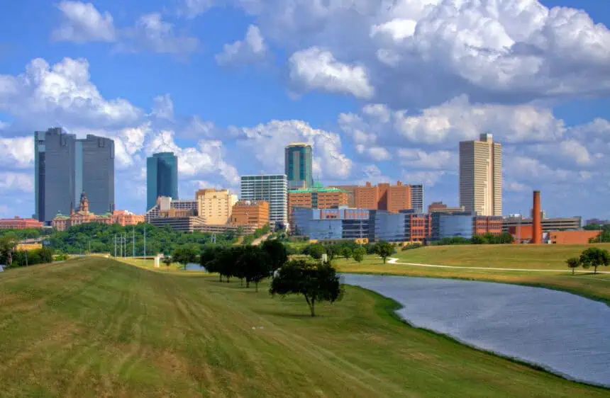
The first heat-related death of 2025 has been confirmed in Dallas County, Texas, according to the county’s Department of Health and Human Services. The victim was a man in his 60s with unspecified pre-existing medical conditions.
Heat index values — which factor in humidity to show how hot it truly feels — climbed above 100°F (38°C) Thursday afternoon from the Gulf Coast all the way up through the Midwest, while in parts of the Mississippi Valley, they surged past 110°F (43°C).
Memphis, Tennessee, recorded its hottest day of the year so far on Wednesday, with a high of 97°F (36°C) and a heat index of at least 106°F (41°C). On Thursday, it felt even worse, with heat indices reaching 108°F (42°C). Further south, Greenville, Mississippi, saw the heat index spike to 115°F (46°C). Up north, Chicago felt over 101°F (38°C), and Syracuse, New York, shattered its previous daily high by hitting 93°F (34°C) — surpassing a record set in 1941.
The scorching summer heat pushed eastward Thursday, spreading into the Mid-Atlantic and the Northeast. By afternoon, highs in the 90s°F (32°C) stretched as far north as Burlington, Vermont, just 30 miles from the Canadian border.
The worst of the heat for the East Coast is arriving today, Friday, with temperatures expected to reach around 91°F (33°C) from Washington to Boston. These readings are well above seasonal norms and may break daily high-temperature records in Baltimore, Philadelphia, and New York City.
The heat index is projected to reach or exceed 100°F (38°C) across major cities. In Washington and Philadelphia, it could feel hotter than 104°F (40°C) this afternoon, with Baltimore approaching a blistering 109°F (43°C) during peak hours.
Heat remains the deadliest form of extreme weather in the U.S. Worldwide, heat waves are becoming more frequent, intense, and long-lasting as the planet continues to warm due to climate change fueled by fossil fuel emissions.
More than 90 million people across the Eastern half of the U.S. are currently under at least a Level 3 of 4 “major heat risk” alert, according to the National Weather Service — and that number is expected to rise again today.
The National Oceanic and Atmospheric Administration (NOAA) warns that such extreme temperatures pose serious risks to anyone without access to air conditioning or proper hydration, not just vulnerable populations. For those without cooling indoors, staying inside during peak heat hours could turn deadly.
Adding to the danger, humid conditions are preventing overnight temperatures from dropping significantly. By Saturday morning, Washington is expected to remain around 81°F (27°C) at dawn — nearly 11°F (6°C) warmer than the average late July low.
When nighttime temperatures stay elevated, the body can’t cool down, and the risk of heat-related illnesses increases sharply. Nighttime heat is also rising faster than daytime highs, becoming one of the clearest signs of climate change.
A Climate Central analysis indicates that human-driven climate change has made this week’s heat wave at least three times more likely for nearly 160 million Americans — almost half the country’s population — compared to a world without fossil fuel pollution.
The heat dome will start to weaken by Saturday, giving way to more typical — yet still hot — late-July conditions in parts of the Northeast and Midwest. However, sweltering temperatures will stick around through the weekend, especially in the southern Ohio Valley and the Mid-Atlantic on Saturday, and across sections of the Southeast on Sunday.
According to the latest forecast from the Climate Prediction Center, the unusually hot pattern in the South is expected to persist into next week.


