

A fresh surge of stifling air has settled over Texas this Thursday, July 24, and forecasters expect the blistering stretch to keep its grip until early next week. Afternoon highs topping 100 °F (38 °C), cloud-free skies and barely a whisper of wind are combining to push the state into a relentless furnace, especially east of Interstate 35, where the heat index feels close to 108 °F (42 °C).
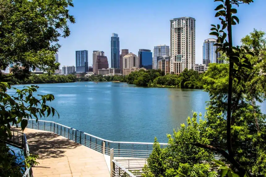
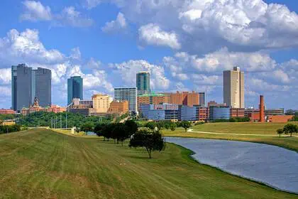
Thermometers across Dallas–Fort Worth are poised to climb near 101 °F (38.3 °C) today and Friday, while nearby Denton flirts with 102 °F (38.9 °C). Farther south, the humid metro sprawl of Houston will simmer between 95 °F (35 °C) and 101 °F (38.3 °C), yet the saturated Gulf air will make it feel more like 104 °F (40 °C) to 107 °F (41.7 °C).
The driving engine is a stout dome of high pressure anchored over the Southern Plains. Its sinking, warming air squashes cloud formation, locks out meaningful rain and even keeps the nights oppressive; lows linger near 75 °F (23.9 °C), and along the coast at Galveston readings refuse to drop below 80 °F (26.7 °C).
Subtle moderation may creep into the Brazos Valley and other parts of south Texas by Saturday as clouds thicken and scattered showers bubble up. A loosely organized tropical wave now inching westward from Florida across the Gulf of Mexico drags a plume of moisture toward the shoreline, and between tonight and Saturday it could spark pockets of rain around Houston, Galveston and College Station. Even there, though, any break will be modest: highs might ease to 91 °F (32.8 °C) beneath persistent overcast, while locales north of Interstate 20—including Dallas, Fort Worth and Paris—still roast above 97 °F (36.1 °C).
Long-range model signals keep the mercury elevated through the opening days of next week, with only regional quirks in humidity offering momentary relief. As one veteran forecaster in Fort Worth put it, temperatures running above average appear primed to stick around into the new week.


