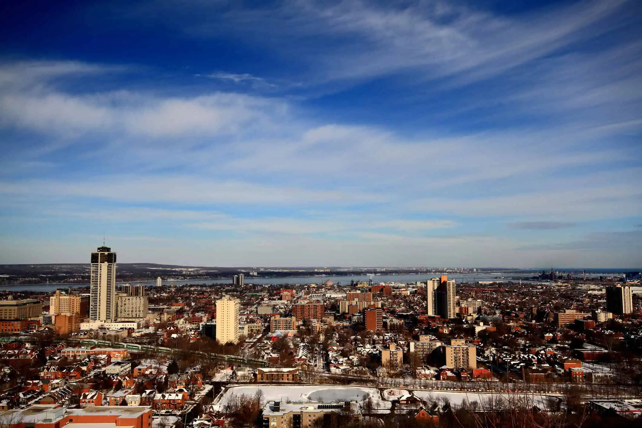
Strong thunderstorms expected across southern Ontario this Saturday
Saturday, July 19, 2025 – New York, 3:10 AM (EDT) — Southern Ontario is bracing for the return of severe weather as a low-pressure system pushes into the Great Lakes this Saturday. After a couple of days of pleasant, less humid conditions, the atmosphere is setting the stage for a stormy weekend, with strong wind gusts and intense downpours being the primary threats.
A shift in the pattern will begin early Saturday, as warmer air surges northward along a warm front, bringing temperatures close to 86°F (30°C) in several areas. As this unstable air mass builds, it will create the ideal environment for scattered storms, especially through central Ontario during the earlier part of the day.
By the afternoon, thunderstorms are forecast to develop south of the border and begin pushing northward toward southern Ontario. These storms could organize into a line of severe weather, reaching areas along the Lake Huron and Georgian Bay shorelines by late Saturday afternoon.
From Muskoka to Sarnia, conditions could become dangerous by late afternoon or early evening, with the risk of damaging wind gusts, torrential rainfall, and hail of significant size.
Thunderstorm activity Saturday evening
The Greater Toronto Area (GTA) may begin to see storm activity by late evening or into the overnight hours. However, there’s still some uncertainty about how intense these storms will remain by the time they reach the urban corridor. While humidity levels won’t be as high as in previous days, rainfall totals may still reach 0.4 to 1.2 inches (10-30+ mm) in storm-affected zones.
Stay alert through Saturday, especially if you’re in or around southern Ontario, and monitor radar updates and weather alerts closely as conditions evolve.


