
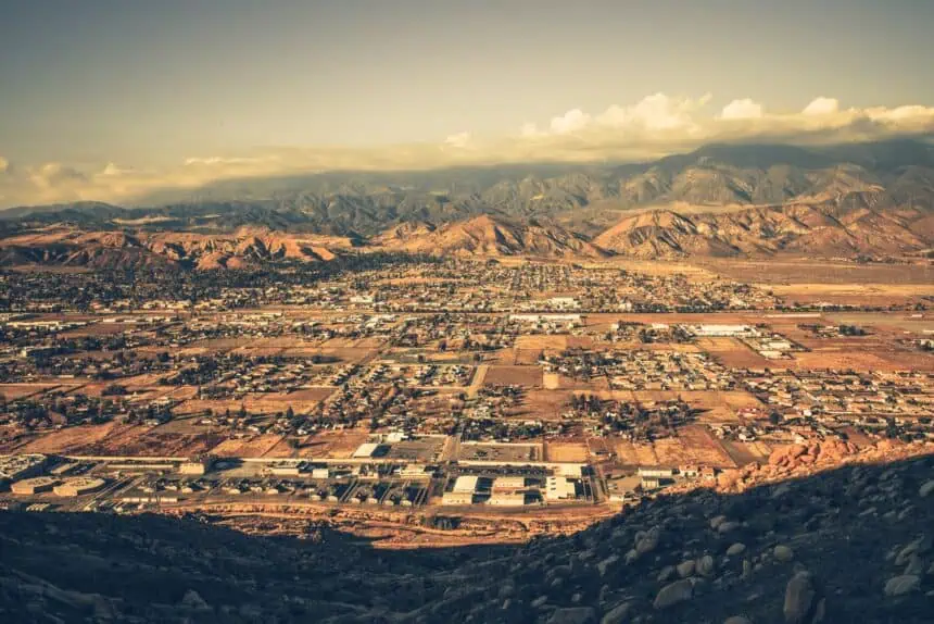

San Bernardino Mountains, California — Thursday, July 17, 2025, 9:00 AM EDT
The first monsoonal thunderstorms of the season are expected to develop across Southern California’s mountain regions starting today, Thursday, and continuing through Saturday, with the San Bernardino Mountains seeing the greatest risk for storm activity, according to the National Weather Service.
Thursday brings a modest storm chance
As of this morning, forecast models indicate a 15% to 25% chance of thunderstorms forming over the San Bernardino Mountains this afternoon. Storms will be isolated, mostly driven by monsoonal moisture surging in from the southeast.
Friday marks the peak of activity
Friday, July 18, remains the day with the highest forecast confidence for thunderstorm development, with a 40% to 50% likelihood of convective activity across the mountain ridges, particularly in the San Bernardino range. These storms could linger, moving slowly due to weak upper-level winds, which could lead to localized flooding.
According to a National Weather Service bulletin released on July 14, some of these slow-moving storms may produce brief downpours, although most will remain confined to elevated terrain and are not expected to impact lower-elevation cities.
Storm risk tapers into the weekend
By Saturday, July 19, the chance of thunderstorms falls to 30% to 40%, with activity remaining mostly scattered and elevation-bound. Sunday sees a sharp decrease in storm risk, with only a 5% to 15% chance of development over the highlands.
Temperatures and winds in nearby cities
In adjacent desert communities like Hesperia and Victorville, daytime highs are projected to reach the low to mid-90s °F (32–35 °C), with overnight lows dropping into the mid-60s °F (17–19 °C). These values are seasonal averages for mid-July in the High Desert.
Winds across the region will generally blow at 10 to 20 mph, but may gust up to 30–35 mph in the afternoons, particularly on Thursday and Friday. These breezy periods may cause gust-fronts that enhance storm movement or cause isolated wind damage, especially in exposed passes and ridgelines.
Seasonal shift toward monsoonal flow
This monsoonal push signals the official return of summer thunderstorm patterns across Southern California, with moisture-rich air capable of fueling short-duration, high-intensity events. Lightning and flash flooding remain the main concerns, particularly in burn scar areas and steep terrain.
Afternoon storm development is most likely after 1:00 PM PDT, with rainfall rates potentially reaching moderate to high intensity wherever storms manage to organize.


