

Thursday is set to bring the peak of this week’s heat wave across California, with triple-digit temperatures blanketing many interior regions. While this event won’t go down as historic by California standards, it’s shaping up to be an intense stretch of summer heat for many inland communities.
A summer pattern sets the stage
Beginning Tuesday, a weak cutoff low that had kept cooler marine air over the Bay Area will retreat eastward. In its place, a broad ridge of high pressure will expand over the Desert Southwest and into Southern California through the week. Unlike more aggressive heat domes, this one behaves more like a slow-cooker, steadily intensifying heat without setting all-time records.
The core of the heat will center on inland areas, with coastal zones remaining less predictable due to onshore flow and marine influence.
Where the heat will be most extreme
From Wednesday through Friday, the hottest temperatures will grip the deserts and low-elevation valleys east of the San Jacinto and San Bernardino Mountains in Southern California. Cities like Palm Springs, Indio, and Blythe are forecast to soar between 115°F and 120°F (46°C – 49°C). Death Valley may top 120°F (49°C) on both Thursday and Friday, adding to its legacy as the hottest spot in North America.
The Mojave Desert will follow closely, with places like Lancaster, Barstow, and Ridgecrest climbing into the 105°F to 110°F (41°C – 43°C) range. In the Inland Empire, including Riverside, Ontario, and San Bernardino, expect highs near 100°F (38°C), especially on Wednesday and Thursday.
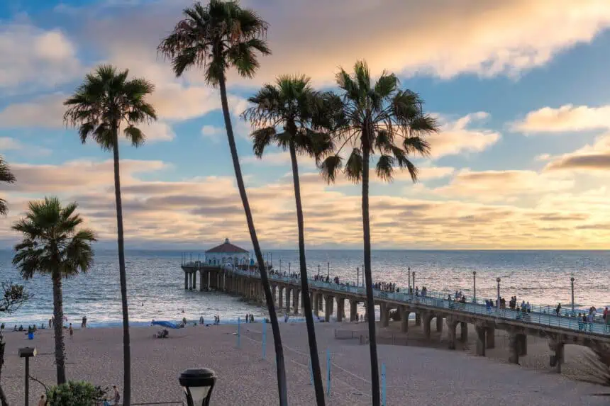
Further west, the Los Angeles Basin will feel the warmth pressing in. Many neighborhoods will see temperatures in the upper 80s to mid-90s (31°C – 35°C) through Friday, while the coastline, including Santa Monica and Long Beach, will hover in the 70s (21°C – 26°C) thanks to a cooler marine layer.
Central Valley heat intensifies
The Central Valley knows heat well in July, but this week’s prolonged surge will still pack a punch. From Bakersfield through Fresno and Stockton, expect highs to linger in the 100°F to 105°F (38°C – 41°C) range between Wednesday and Friday.
Bay Area and Northern California remain shielded
Northern California won’t see the brunt of this event. Some warmth will push west into the Salinas Valley, where highs may hit the 90s (32°C – 37°C). But farther north, marine air will cap temperature spikes. In the Bay Area, South Bay and East Bay valleys will warm into the 90s (32°C – 34°C) midweek, while San Francisco and Oakland hold steady in the 60s to 70s (16°C – 24°C) due to persistent onshore flow.
Tuesday’s regional breakdown
San Francisco will begin Tuesday blanketed in thick morning clouds, especially on the west side. Neighborhoods like the Richmond and Sunset districts will stay cool, with highs in the upper 50s to low 60s (14°C – 17°C). Areas like the Mission and downtown will see more sun, nudging temperatures into the mid-60s (18°C – 19°C). Evening brings the return of low clouds, with overnight lows in the low to mid-50s (11°C – 13°C).
In the North Bay, morning stratus clouds will extend across cities like Napa and Vallejo, then retreat slowly inland. While the coast stays cool and gray, interior valleys like Santa Rosa will warm into the mid-70s (24°C), with Vacaville climbing to the low 80s (27°C). Overnight lows dip into the upper 40s to low 50s (9°C – 11°C).
Across the East Bay, from Berkeley to Oakland, clouds dominate early before breaking up late morning. Temperatures will stay mild, from the upper 60s to mid-70s (20°C – 24°C). Tri-Valley cities such as Pleasanton and Livermore will reach the low 80s (27°C) under clearer skies. At night, marine stratus will return west of the Berkeley Hills, with lows between 50°F and 55°F (10°C – 13°C).
The Pacific Coast and Peninsula will start out cloudy and cool, with slow clearing by afternoon. Places like Daly City, Pacifica, and Half Moon Bay will stay in the low 60s (16°C). Farther inland, cities like Redwood City may touch the mid-70s (24°C). Overnight lows will settle in the mid-50s (13°C).
In the South Bay and around Santa Cruz, expect sluggish morning clouds, especially near the coast. By afternoon, skies clear in places like San Jose, Santa Clara, and Cupertino, where highs rise into the mid-80s (29°C). Santa Cruz’s beaches will stay cooler in the low 70s (21°C). Overnight, patchy low clouds will drift back inland, holding lows around the mid-50s (13°C).


