
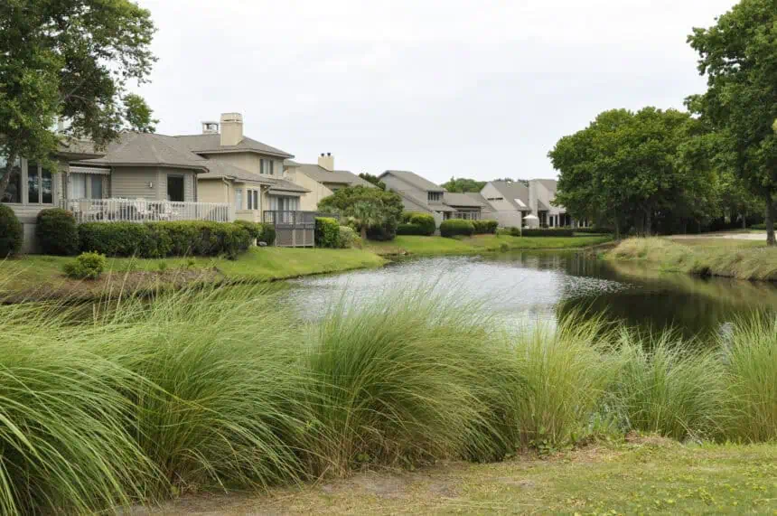
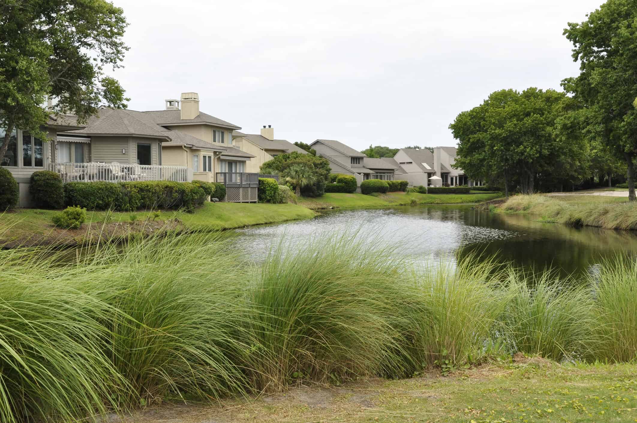
HILTON HEAD, South Carolina — Thursday, July 4, 2025, 8:30 AM (EDT) — Meteorologists are closely tracking a tropical disturbance forming off the coast of South Carolina, just as Independence Day celebrations begin across the Lowcountry. The area of interest is currently situated offshore near Hilton Head Island, where a stalled cold front is creating conditions that are often conducive to tropical or subtropical cyclone development.
According to the National Hurricane Center, this coastal disturbance may evolve into a tropical depression or a subtropical low within the next seven days, though at this point, any such system is expected to remain weak and short-lived. Emily McGraw, meteorologist at the National Weather Service, noted that “if anything develops, it’s going to be relatively weak.”
The current setup involves a weak cold front moving over the Carolina coast, expected to stall offshore, a pattern that meteorologists like Frank Strait—severe weather liaison with the State Climate Office—describe as “notorious” for fostering tropical activity. However, due to the limited time the system would have over warm Atlantic waters, it’s unlikely to strengthen significantly before making landfall.
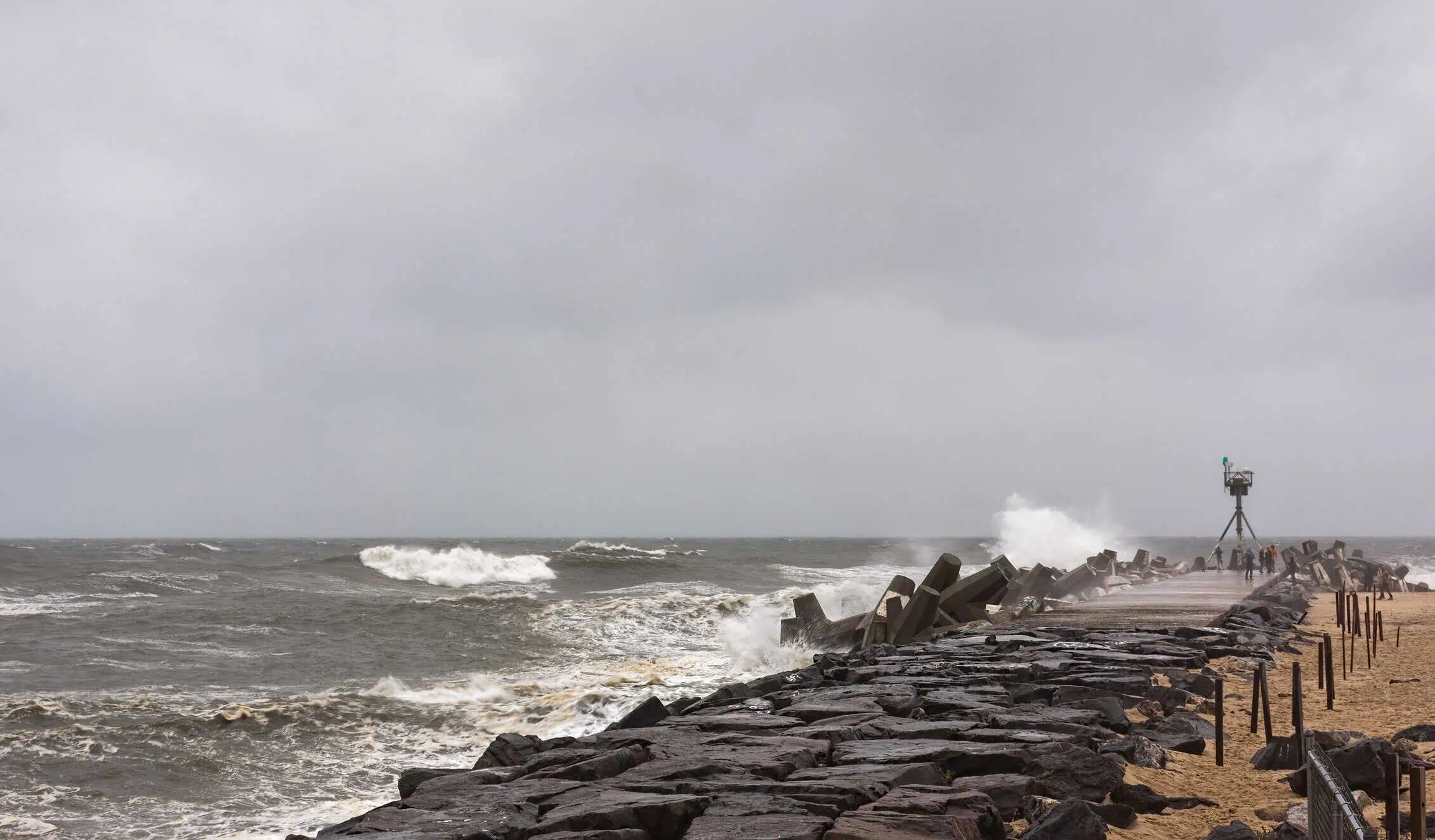
Still, residents and visitors across South Carolina’s coast, including popular destinations like Myrtle Beach, Charleston, and Hilton Head, should prepare for persistent rainfall and occasional thunderstorms, especially on Saturday and Sunday. Wind gusts, rough surf, and minor storm surge are possible if the system intensifies briefly before reaching the shore.
Friday, July 4 forecast: hot, humid, and stormy before fireworks
Friday’s forecast brings a classic summer mix for the Fourth of July: scattered afternoon showers and isolated thunderstorms, especially after 2 p.m., followed by improving conditions by evening. High temperatures are expected to climb into the mid-90s°F (around 35°C), with heat indices potentially reaching 102°F (39°C) in inland areas.
Despite the threat of afternoon downpours, meteorologist Frank Strait noted that most fireworks displays should proceed as planned, with storms dissipating by dusk.
Weekend outlook: rain chances remain high across the Lowcountry
Saturday will start out partly sunny with a high around 87°F (31°C). But by midafternoon, the risk of showers and storms will increase once again, continuing into Sunday, which is expected to bring similar temperatures and precipitation patterns.
With rip current risk elevated across much of the South Carolina coast, beachgoers in areas like Folly Beach, Isle of Palms, and Tybee Island should exercise extra caution. According to Emily McGraw, the weekend’s wave conditions could pose hazards for swimmers, especially during high tide.
Meteorologists continue to monitor the disturbance as it drifts slowly in the Atlantic, and updates will be issued frequently throughout the holiday weekend.


