
Severe thunderstorm warning for North Jersey this Thursday
Thursday, July 4 — NEW YORK – A severe thunderstorm warning is currently in effect for Warren and Sussex County, in northern New Jersey, where strong storms are moving through this Thursday afternoon. The National Weather Service issued the alert just after 3:30 p.m., warning residents in communities including Newton, Hopatcong, Franklin, Hamburg, Ogdensburg, Branchville, Lake Mohawk, and Crandon Lakes to remain alert until 4:15 p.m.
A broader severe thunderstorm watch is also active until 10:00 p.m., impacting multiple North and Central Jersey counties: Bergen, Essex, Hudson, Hunterdon, Middlesex, Morris, Passaic, Somerset, Sussex, Union, and Warren.
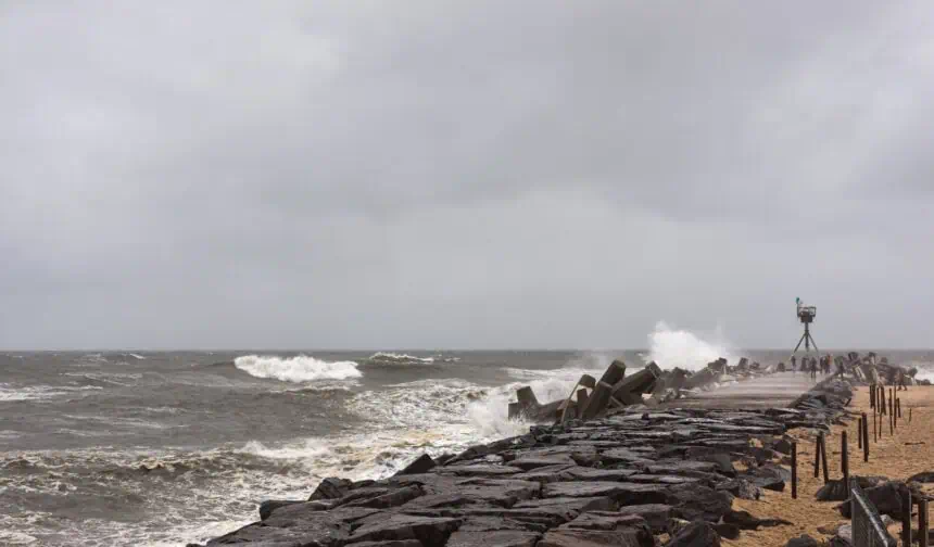
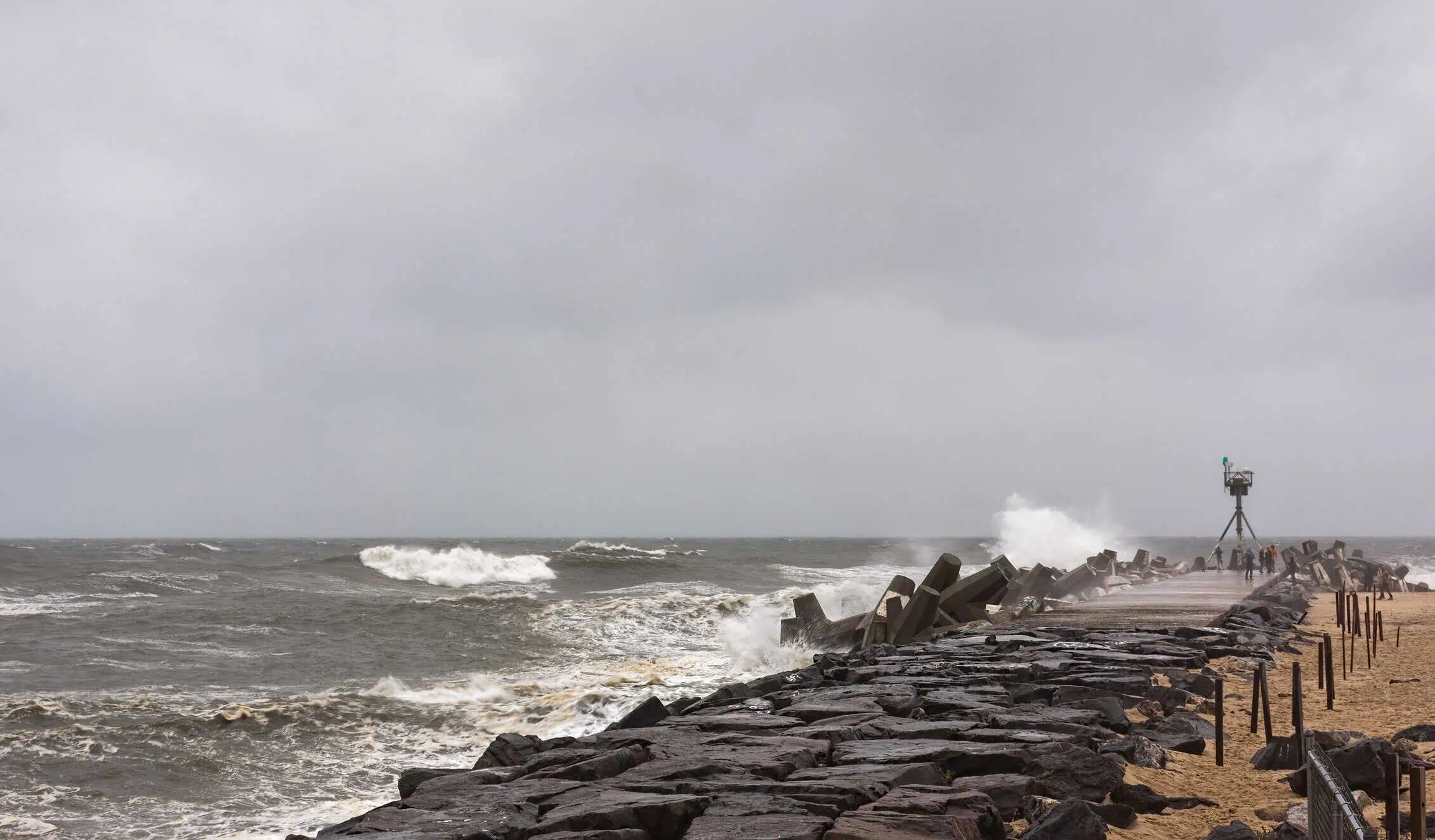
Forecasters highlight hail up to 2 inches in diameter, wind gusts reaching 70 mph, and frequent lightning strikes as the main threats.
“Today’s storms are much more isolated compared to Tuesday,” noted the National Weather Service earlier this morning. “Localized thunderstorms are possible, especially north and east of Philadelphia. Some areas will be hit while others won’t see a drop of rain.”** Those spending time outdoors are urged to stay aware, as conditions may change suddenly during the late afternoon and evening.
Storms are expected to weaken quickly after sunset, leaving much of the state with clear skies overnight.
Meanwhile, temperatures across New Jersey remain high, with afternoon highs near 90°F (32°C) across South and Central Jersey. Conditions are mostly sunny, apart from scattered storm cells in the northern region.
By Independence Day, the forecast improves significantly: dry skies, moderate temperatures, and comfortable humidity levels will make Friday the most pleasant day of the week.
North Jersey forecast
Thursday, July 4: A chance of thunderstorms after 4:00 p.m., under mostly sunny skies. High near 87°F (31°C) with light winds from the west in the afternoon. Rain chance: 30%. Rainfall under 0.1 inch, unless under a thunderstorm.
Thursday night: Storms taper off before 8:00 p.m. Skies gradually clearing overnight. Low around 63°F (17°C). Light northwest winds becoming calm.
Independence Day (Friday): Clear and sunny, with a high near 83°F (28°C). North wind around 5 mph.
Friday night: Mostly clear, with lows around 61°F (16°C) and calm conditions.
Saturday: Sunny, reaching 86°F (30°C). Light southwest wind in the afternoon.
Saturday night: Partly cloudy, low near 67°F (19°C).
Sunday: Mostly sunny, with a high near 89°F (32°C).
Sunday night: Clear, with a low near 70°F (21°C).
Central Jersey forecast
Thursday, July 4: Scattered thunderstorms possible after 5:00 p.m. under mostly sunny skies. High near 89°F (32°C). Winds shift from light northwest to west at 5–10 mph. Rain chance: 30%.
Thursday night: Isolated thunderstorms possible before 7:00 p.m., then mostly clear. Low around 63°F (17°C). Light northwest breeze, becoming calm overnight.
Independence Day (Friday): Sunny, with a high near 85°F (29°C) and light northwest winds.
Friday night: Clear, dipping to 62°F (17°C).
Saturday: Sunshine continues, reaching 87°F (31°C). Light southwest winds by afternoon.
Saturday night: Partly cloudy, with a low near 65°F (18°C).
Sunday: Mostly sunny, with highs around 89°F (32°C).
Sunday night: Partly cloudy, lows near 70°F (21°C).
South Jersey forecast
Thursday, July 4: Dry and sunny through the day. High near 90°F (32°C) with light west winds in the afternoon.
Thursday night: A slight chance of thunderstorms before 10:00 p.m., then mostly clear. Low around 66°F (19°C). Rain chance: 20%.
Independence Day (Friday): Bright skies, dry air, and comfortable warmth, with a high near 87°F (31°C). Light north wind.
Friday night: Mostly clear, with temperatures falling to 64°F (18°C).
Saturday: Sunny and warm, peaking at 87°F (31°C). Light southerly breeze in the afternoon.
Saturday night: Clear to partly cloudy, with a low near 66°F (19°C).
Sunday: Mostly sunny, with highs around 87°F (31°C).
Sunday night: Partly cloudy, with temperatures holding near 71°F (22°C).


