
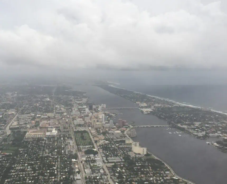
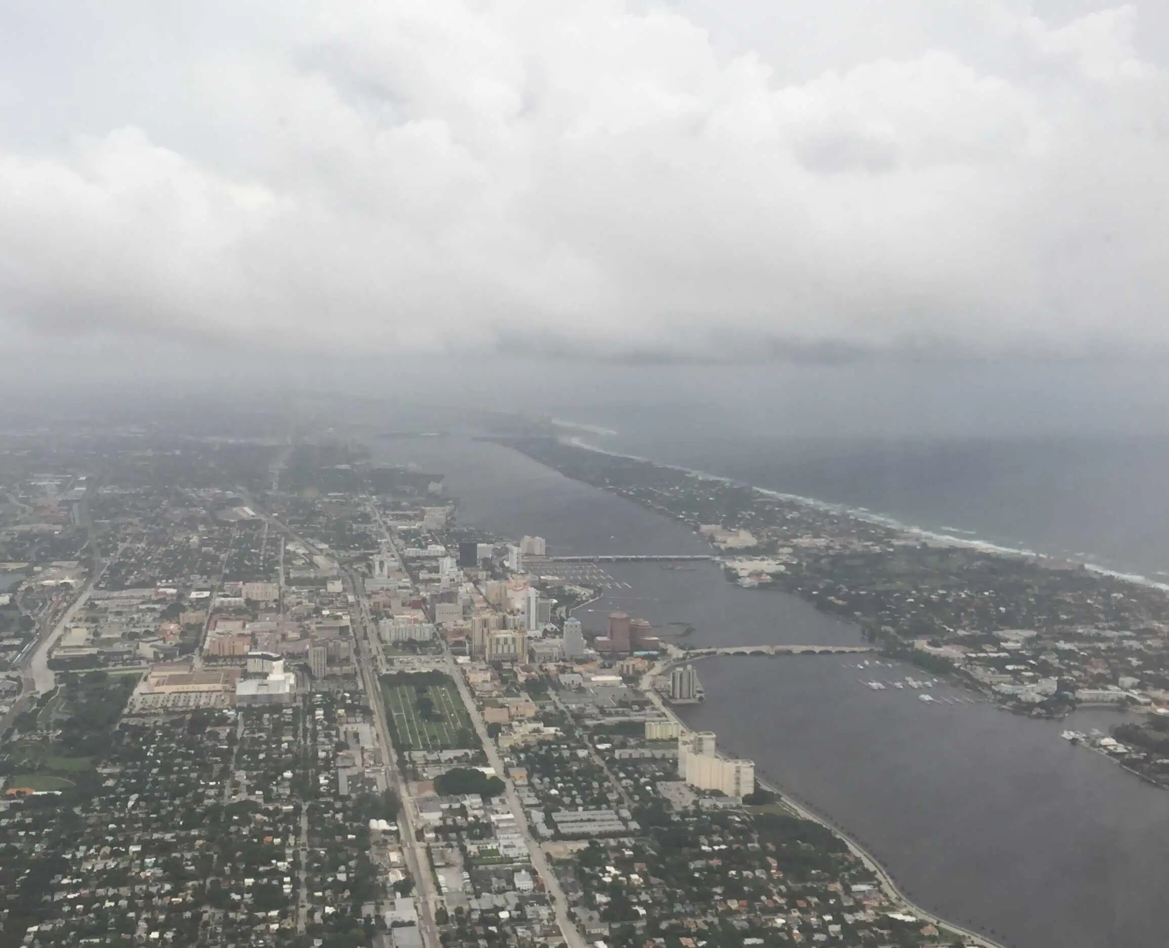
Afternoon thunderstorms are sweeping across Northeast Florida this Thursday, bringing rain, thunder, and the potential for localized flooding. According to The Weather Authority, a broad low-pressure system is expected to settle over the Florida Peninsula, while a frontal boundary slowly moves across Southeast Georgia, likely stalling over North Florida by Friday morning.
This setup is increasing the risk for tropical or subtropical development, although any resulting system would likely remain weak and slow-moving, with limited impact to the immediate area.
As of today, the National Hurricane Center estimates a 60% chance of formation within the next 7 days. Should a system develop, its trajectory would probably shift northward by Sunday or Monday.
The primary concern at this stage is not wind but heavy rainfall, with the possibility of flash flooding, especially in North Central Florida. Starting Friday, the chance of rain rises significantly, with unsettled tropical weather expected to dominate throughout the 4th of July weekend.
Areas like Jacksonville, Gainesville, and communities across the I-10 corridor should prepare for periods of steady downpour, isolated storms, and high humidity, with temperatures staying in the upper 80s to low 90s Fahrenheit (31–34°C) through the holiday stretch.


