
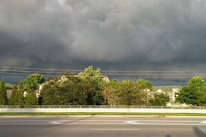
Monsoonal moisture will remain concentrated over the mountainous regions of Colorado, while the I-25 corridor will experience only isolated thunderstorm activity through Tuesday, and the plains are expected to stay dry.
Tonight’s weather outlook for Colorado
Thunderstorms will persist through Monday evening across the mountains and higher elevations, with a few scattered storms drifting into the I-25 corridor. Cloud coverage will increase overnight, helping keep temperatures mild, with lows dropping into the 50s °F (10–15°C) and 60s °F (15–20°C) across much of the state.
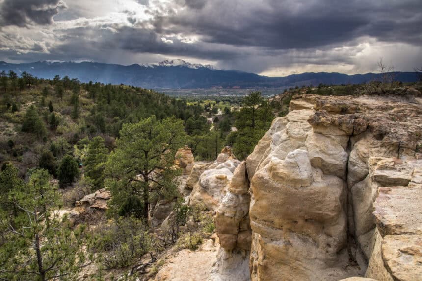
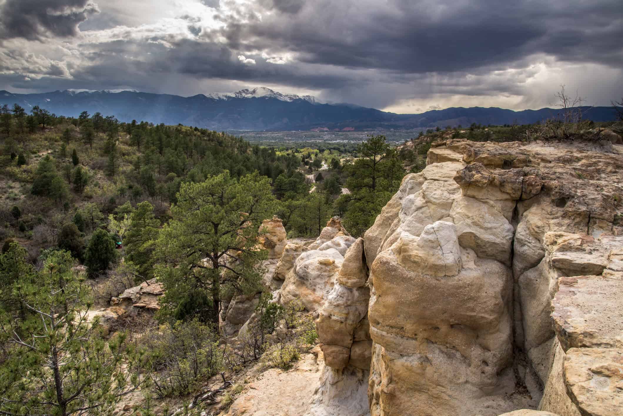
Colorado Springs weather: more clouds and isolated storms
Low: 55°F (13°C); High: 81°F (27°C)
Colorado Springs will see thickening clouds Monday evening into Tuesday morning. Lows will settle into the mid-50s °F (around 13°C). The pattern continues Tuesday with a slight chance of isolated afternoon thunderstorms.
Pueblo forecast: dry and a bit warmer
Low: 59°F (15°C); High: 88°F (31°C)
A high-pressure ridge will keep Pueblo mostly dry, with overnight temperatures in the upper 50s °F (15°C). Tuesday brings warmer air, with highs in the upper 80s °F (around 31°C), under mostly clear skies.
Canon City weather: showers fade, clouds linger
Low: 57°F (14°C); High: 84°F (29°C)
Canon City will see a few showers and storms wrapping up Monday evening. Clouds will linger overnight into Tuesday morning. Temperatures will drop into the upper 50s °F (14°C), and storm chances continue Tuesday afternoon.
Woodland Park forecast: more moisture, more rain
Low: 47°F (8°C); High: 74°F (23°C)
Woodland Park will retain more monsoonal moisture, keeping rain chances alive through Tuesday. Morning lows will fall into the upper 40s °F (around 8°C) with afternoon highs in the mid-70s °F (23°C). This cooler pattern should hold through the week.
Tri-Lakes area: breezy and mild
Low: 52°F (11°C); High: 78°F (26°C)
The Monument region will feel breezy conditions Monday evening with increasing clouds overnight. Tuesday morning will begin in the mid-50s °F (12°C), rising to the upper 70s °F (26°C) by the afternoon under partly sunny skies.
Eastern Plains weather: dry and hot ahead
Lows: 60s°F (15–20°C); Highs: 80s–90s°F (27–35°C)
The eastern plains will remain dry and warm, with overnight lows in the 60s °F (16–20°C). Tuesday brings widespread warmth, with afternoon highs in the upper 80s to low 90s °F (31–35°C), especially along the Arkansas River Valley.
Walsenburg and Trinidad: brief storms then clouds
Low: 55°F (13°C); High: 81°F (27°C)
A few evening showers and storms will pass through southern I-25, affecting Walsenburg and Trinidad. Overnight, expect clouds to persist with temperatures in the mid-50s °F (13°C). Tuesday highs will climb to the low 80s °F (27°C).
Mountains forecast: monsoonal pattern continues
Lows: 50s°F (10–15°C); Highs: 70s°F (21–26°C)
The Colorado mountains will continue to capture most of the monsoonal moisture, with widespread showers and storms expected over the next several days. The 4th of July holiday looks wet for higher elevations, with afternoon storms likely, so rain shelter is essential for outdoor events.
Extended weather outlook through July 4
Rain chances will remain isolated along the I-25 corridor through the rest of the week. The plains stay mostly dry, while the mountains continue to experience frequent showers and thunderstorms. On Thursday, July 4, seasonal highs in the 80s °F (27–30°C) will dominate much of I-25, with only isolated rain in the area.


