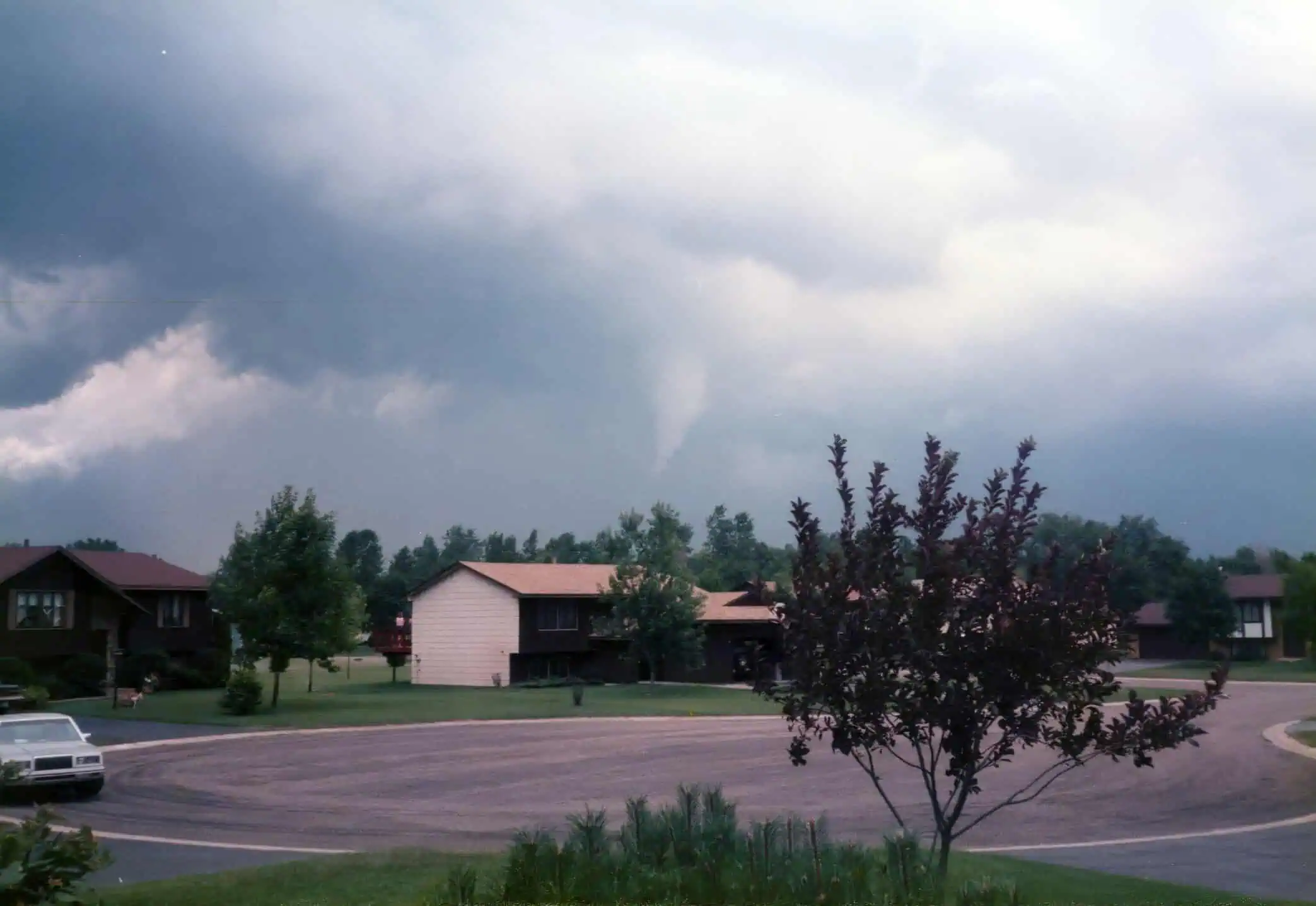
A cold front is set to move into Oklahoma early on Monday, bringing with it widespread rain and a brief break from the intense summer heat. The shift in weather will begin late Sunday night, as showers and isolated thunderstorms develop and push from north to south through the overnight hours.
Some of these storms could become strong, especially in areas just north of I-40, with gusty winds being the primary threat. As the front stalls across central Oklahoma by Monday, daytime heating will likely fuel additional storm development during the afternoon, especially in regions south of I-40.
Temperatures on Tuesday will drop slightly, with highs reaching the mid to upper 80s °F (around 29–31 °C)—a modest but welcome cooldown compared to the recent stretch of 90s.


