


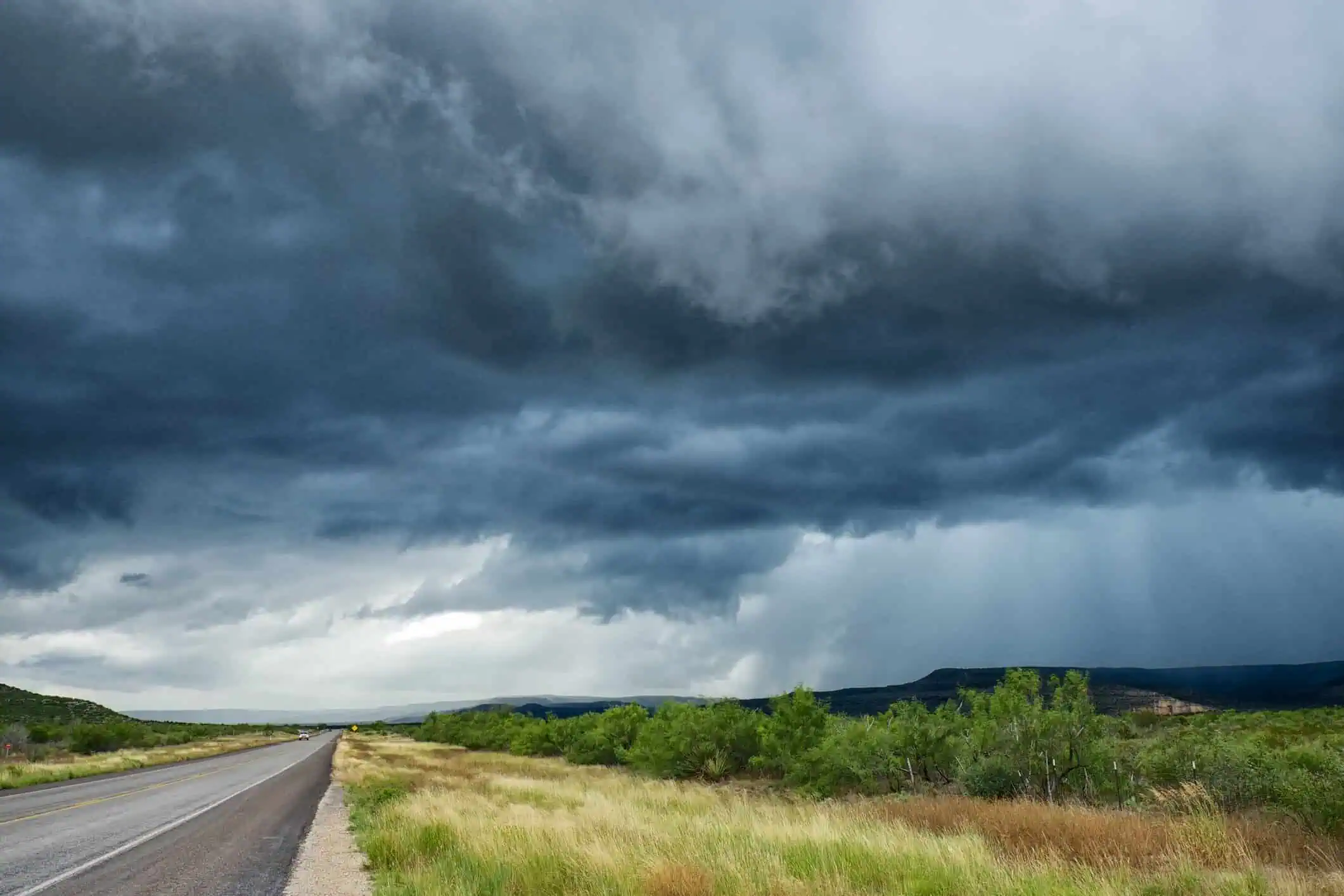
Severe thunderstorms capable of producing damaging winds, hail, and flash flooding will threaten much of the Central and Eastern United States through the beginning of the week. According to AccuWeather meteorologists, a humid, summerlike air mass over the Midwest and Mid-Atlantic will collide with a cooler air front, triggering dangerous weather conditions from the central Plains to the East Coast.
Storms sweep across the Plains and Midwest
By Sunday, strong thunderstorms had already hit parts of the central Plains and the Midwest, especially areas like Kansas, Iowa, and Illinois, bringing large hail and intense wind gusts. The cold front responsible for this activity is forecast to shift southeast through early Monday, dragging the severe threat into new regions.
Two major storm zones Monday
Monday’s severe weather will impact two distinct areas. The first zone stretches from central Missouri through western Virginia and into central Pennsylvania, as the frontal system pushes east. Expect flooding downpours, hail, and localized wind gusts topping 70 mph (113 km/h).
The second area of concern sits farther west, from New Mexico and southern Colorado across Oklahoma and into northern Texas. In particular, counties along the Red River, including parts of southern Oklahoma and north Texas, may face a concentrated outbreak of severe thunderstorms. These storms are expected to hit Monday afternoon into the night, with threats including torrential rain, hail, and potential flash floods.
Tuesday storms to stretch across the East
By Tuesday, the threat expands significantly, with thunderstorms forecast across at least a dozen states from the Carolinas to New England. Storms may strengthen during the afternoon and evening, affecting North Carolina, Virginia, Maryland, New Jersey, eastern Pennsylvania, western Massachusetts, and western New Hampshire.
AccuWeather meteorologist Peyton Simmers emphasized that “flooding downpours, hail and damaging wind gusts will be the primary threats.” He also warned of disruptions to evening commutes along the I-95 corridor, including New York City, Philadelphia, and Washington, D.C.
The most intense storms may concentrate in a corridor extending from southeastern Pennsylvania through northeastern Virginia, potentially bringing dangerous travel conditions and flood risks in heavily populated areas.


