


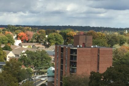
☁️ A cloudy and cool Sunday across Connecticut
Sunday, June 15, has brought unseasonably cool weather to much of Connecticut, with temperatures topping out around 70°F (21°C). While this marks a slight uptick from Saturday, the air remains well below seasonal averages. Despite the cloud cover and chill, the day is expected to remain mostly dry, thanks to a high-pressure system dominating the region.
Southern Connecticut may experience a brief, stray shower, especially in the afternoon, but most of the state will enjoy precipitation-free conditions. The atmosphere is moist, keeping clouds locked in overhead, though some breaks of sun are likely — particularly inland.
🌦️ Regional breakdown for Sunday
Shoreline cities, such as Stamford, Bridgeport, New Haven, and New London, will see mostly cloudy skies, with a chance of a light afternoon shower. Highs will remain between 65°F and 70°F (18°C–21°C).
Inland areas, including Danbury, Waterbury, Hartford, and Windham, will experience partly to mostly cloudy skies with only a slight chance of a stray shower. Temperatures will stay close to the upper 60s°F (19–21°C).
In the Litchfield Hills, from Torrington to Litchfield and Winchester, skies will be cloudy with occasional sunshine, with highs hovering around 64°F to 69°F (18°C–20°C).
☀️ A warming trend begins Monday
Looking ahead, Monday signals the start of a warmer stretch as high pressure strengthens. Dry weather is expected to persist throughout the week, with sunshine gradually increasing.
Temperatures will rise steadily, reaching the mid-70s°F (24°C) on Monday and Tuesday. By Wednesday and Thursday, thermometers across Connecticut will likely hit 80°F (27°C) again, marking a return to more typical June warmth.
Stay tuned as the weather transitions from gray to golden over the next few days.


