
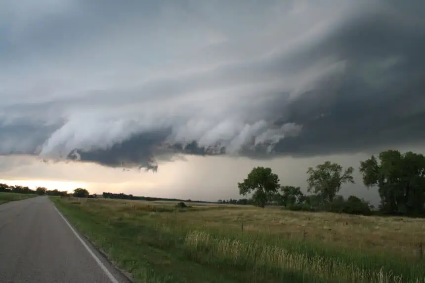

A narrow band of storms surprises south-central North Dakota
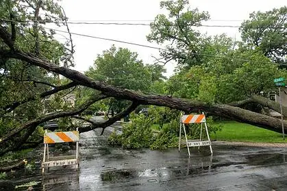
Monday evening, May 5, 2025, brought unexpectedly intense rainfall to parts of south-central North Dakota, even though widespread precipitation failed to materialize. Underneath isolated thunderhead clouds, residents experienced sudden and soaking downpours, especially in areas just east and south of Bismarck.
Storms stayed below severe limits, but some regions were drenched, while others — notably Bismarck — barely got wet. Rockin’ Rick (Rick Rider) noted that while mowing his lawn south of Lincoln, he witnessed storm clouds intensifying and eventually had to abandon his zero-turn Bobcat mower as the rain swept through.
Local rainfall totals show sharp contrasts
While Bismarck and Mandan received a mere 0.03 inches of rain, towns not far away saw totals exceeding 1 inch. The highest rainfall reported in the state came from a gauge 5 miles east of Goodrich, with an impressive 2.5 inches (63.5 mm).
Here’s a breakdown of key rainfall totals from across the region:
- Huff: 1.50 inches (38.1 mm) – the second highest total statewide
- Sterling: 1.07 inches (27.2 mm)
- 7 miles north of Sterling: 1.15 inches (29.2 mm)
- Lincoln: 0.41 inches (10.4 mm)
- Wilton: 0.23 inches (5.8 mm)
- Selfridge: 0.83 inches (21.1 mm)
- Hazelton: 0.34 inches (8.6 mm)
- Hazen: 0.39 inches (9.9 mm)
- Hebron: 0.06 inches (1.5 mm)
- Beulah: 0.08 inches (2 mm)
- 3 miles south of Minot: 0.07 inches (1.8 mm)
- Dickinson: 0.17 inches (4.3 mm)
This pattern further reinforces the long-standing local phenomenon often referred to as the “Bismarck Bubble”, where storms tend to split or weaken as they approach Bismarck, leaving the city with far less rainfall than surrounding communities.
Dry stretch ahead and rising heat
Looking ahead, no rainfall is forecast for the next 10 days, with the region bracing for a significant warm-up. The first 90°F (32°C) temperatures of the season are likely to arrive by the weekend, adding to the growing concern of dryness and early summer heat.


